Queen Mary Falls Run
Distance: 103.1 Km / 64.2 Mi Duration: 01:33:53
Stop for fuel at Yamanto, then get ready for a scenic ride.
The ride officially starts at a scenic abandoned old fuel station not far from Yamanto. It's the perfect spot to show off your bike with the rusty old fuel pumps in the background.
Head South through Peak Crossing and take Warrill View-Peak Crossing Road whereby you'll see an old watering point on your right - with a functioning lever water pump! A nice stop to learn a bit of history of the area.
Continuing south onto what becomes Kalbar-Peak Crossing Road, and you should take in the view as you ride toward the ranges ahead. Eventually you'll reach the historic town of Kalbar. You'll find some nice cafes in town, should you choose to stop for a drink or rest.
Briefly jumping on the Boonah-Fassifern Road south of Kalbar, you can take the first left onto Moogerah Road. Stop to take in the view of the dam, or continue south. Be warned! There are cattle grids and loose cattle roaming around this stretch.
Riding along Mount Alford Road, take a right at Dwyer Ridges Road. At the end of this road is a long straight stretch that terminates at a T junction. I'll leave it up to you what you choose to do at that point before proceeding, but road conditions are good here, and you come into that stretch already doing 100km/h.
.jpg)
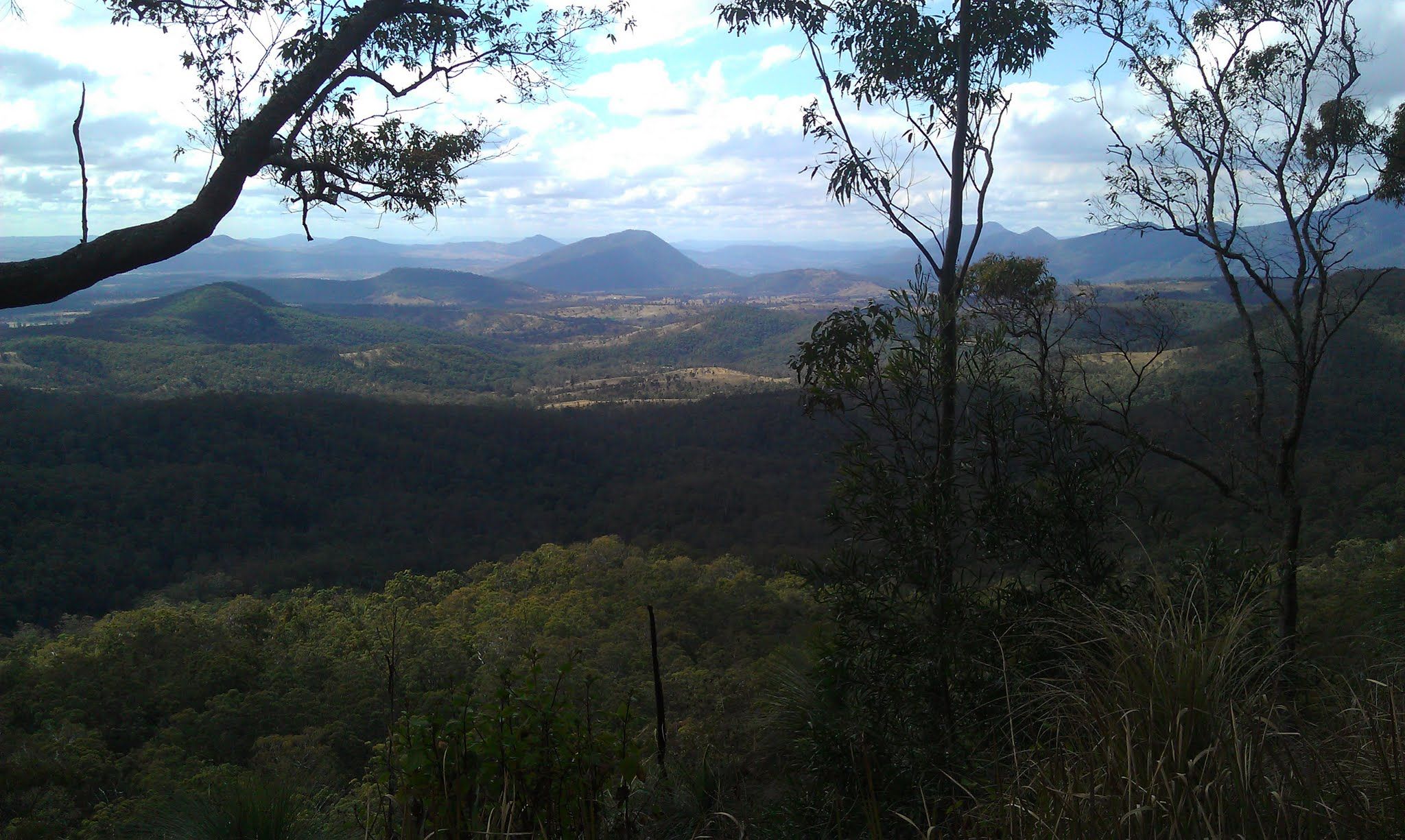
The view at Croftby, near the intersection of Dwyer Ridges Road and Carneys Creek Road.
.jpg)
Croftby offers some stunning views
Take a right at Carneys Creek Road and continue on, but keep an eye out for the Queen Mary Falls turn.
The next section consists of some very tight and twisty components as you ride up toward Queen Mary Falls where there are a number of scenic dining spots, and a few short bush walks. The view from the top of the climb, and along past The Head to the Falls, is stunning, and well worth taking in.
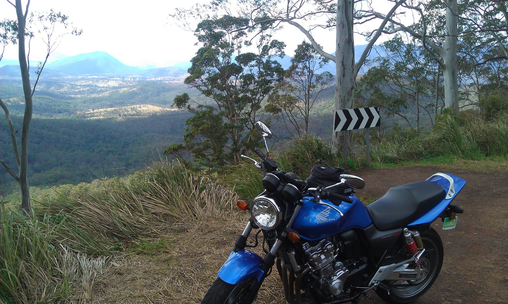
The first time I rode this was on my CB400
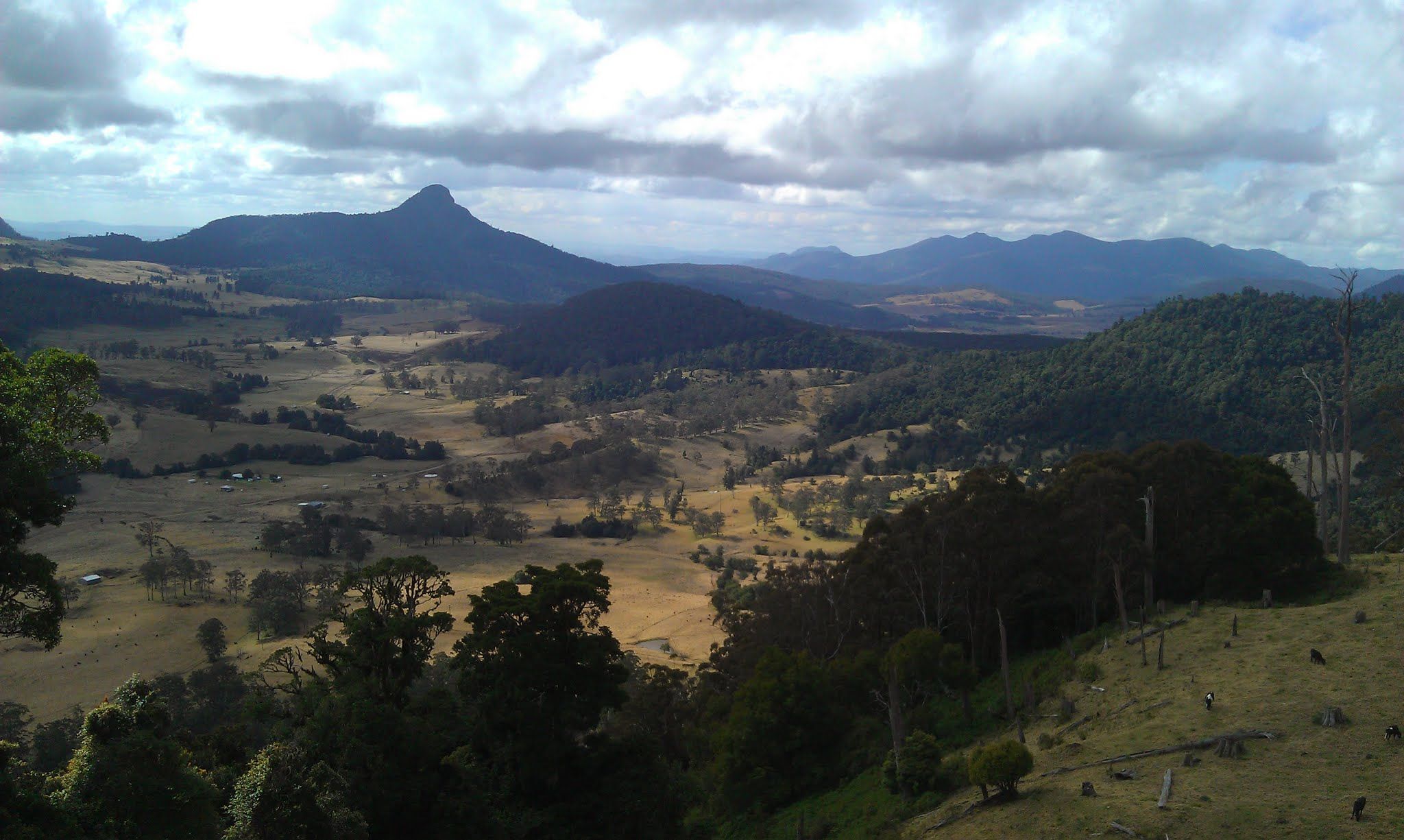
The view from The Head, after a long, windey climb.
As you get near Queen Mary Falls, there's a lookout with a cafe nearby.
From there, it's up to you where to go. However!
DO NOT TAKE A LEFT AT THE TOWN OF LEGUME - ONTO MOUNT LINDSAY ROAD!
Though Mount Lindsay Road looks appealing on the map, the road between Legume and Woodenbong is extremely uneven, bordering on corrugated and is essentially un-ridable. I've ridden it twice and driven once and I've not found a comfortable speed to go (aside from a dead-stop).
I would suggest either riding through Warwick, or backtracking. By backtracking you can take in either Boonah, or Rathdowney. The latter will put you in place to ride up the Mount Lindsay Highway to Woodenbong.
Again, don't ride the stretch between Legume and Woodenbong. You have been warned!
You must be logged in to comment
Login now