Eastern Sierra Mini Tour
Denver, Co, United States
I took a nice weekend ride with my sweetie I thought I would share.
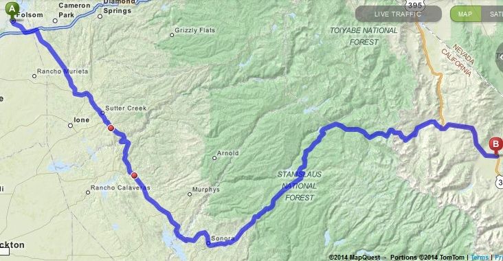
We left the Sacramento area and hit Hwy 50 to Hwy 49 and started heading south.
Map1.jpg
As we did we stopped at the Mark Twain Cabin. He lived in this area for a while and did some writing (The Famous Jumping Frogs of Calaveras County)
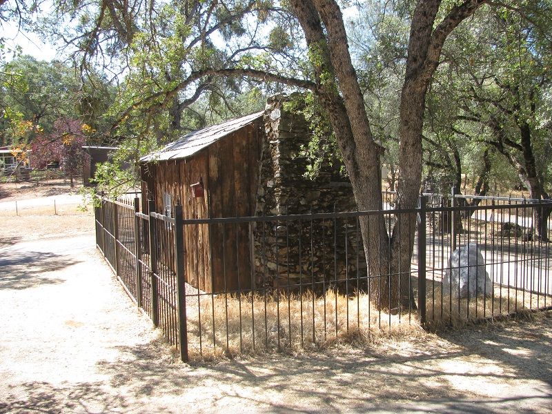
Mark Twain Cabin
We continued south to Hwy 108 which we took over the Sierra's. This is also known as Sonora Pass.
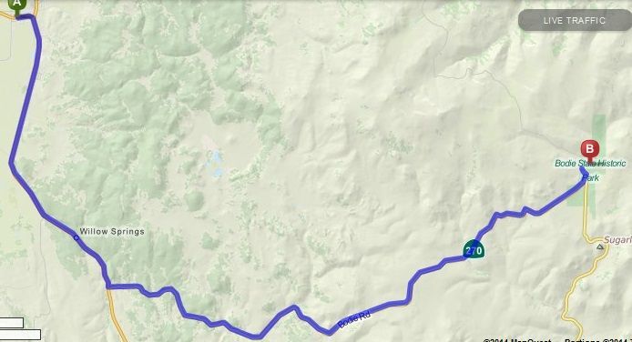
On the other side we hit Hwy 395 and headed South.
Map2.jpg
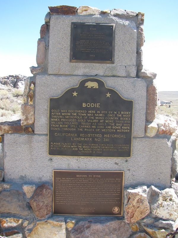
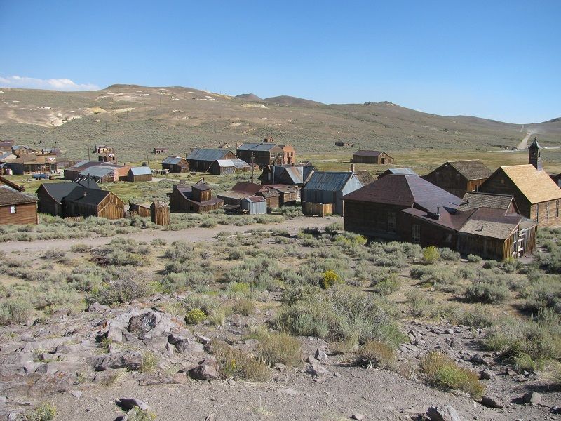
Our next stop was Bodie Ghost Town. We turned off 395 to 270 which took up to Bodie. The road goes to dirt for a few miles heading to the town, but we did it two up on a Yamaha Royal Start Venture, so you should be able to make it too.
It is a very nice stop and they have preserved quite a bit here. They have guide maps to help you on your walking tour through the town.
bodie1.jpg
bodie2.jpg
Next we headed back on to 395 and headed South again to our stopping point for the night, Big Pine California.
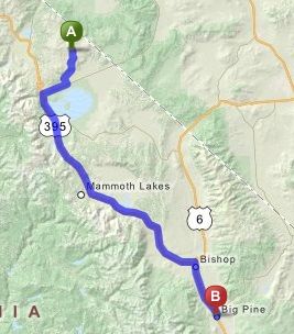
Map3.jpg
After a nice overnight stop we headed South on 35 again to the Manzanar Museum. Mapquest shows it on the wrong side of the Hwy, it is on the West side. Manzanar was a Japanese relocation camp during World War 2.
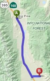
Map4.jpg
I remember stopping here as a boy but then all they had was a simple marker shown here.
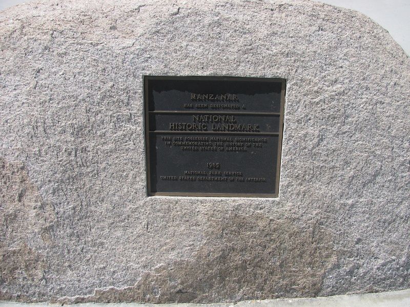
manzanar marker
Since then, people have been going to remember the camp and the government decided to build a museum. They have several inside displays and have rebuilt some of the buildings so you can take a driving tour through the site.
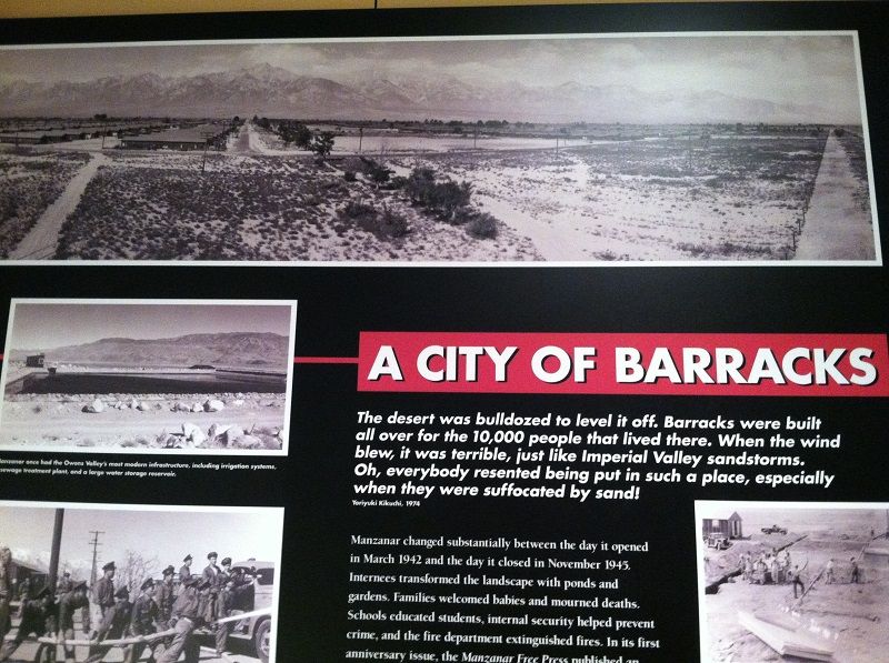
manzanar display
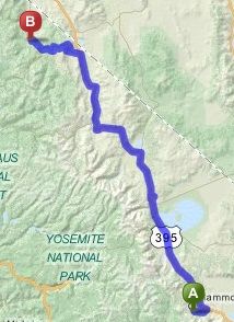
After seeing the museum we headed back north on 395 to Mammoth Lakes California.
Map5.jpg
There are several hikes and attractions in the area, we went to see Devils Post Pile. This is a lava flow that cooled in columns. A very unique sight. Hiking to the top shows what looks like a tile floor where the top was sheared off by a glacier.
Mammoth Lakes was our stop for the second night.
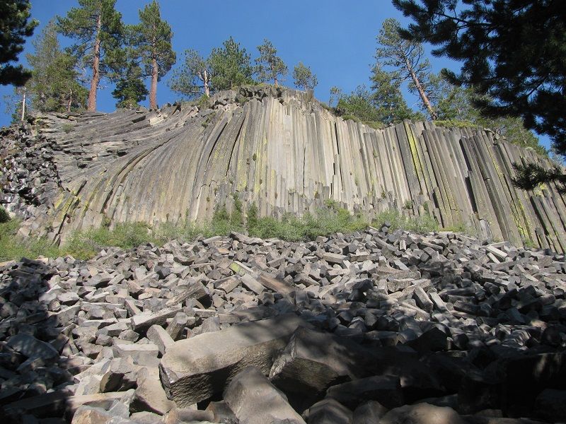
Devil's postpile from below
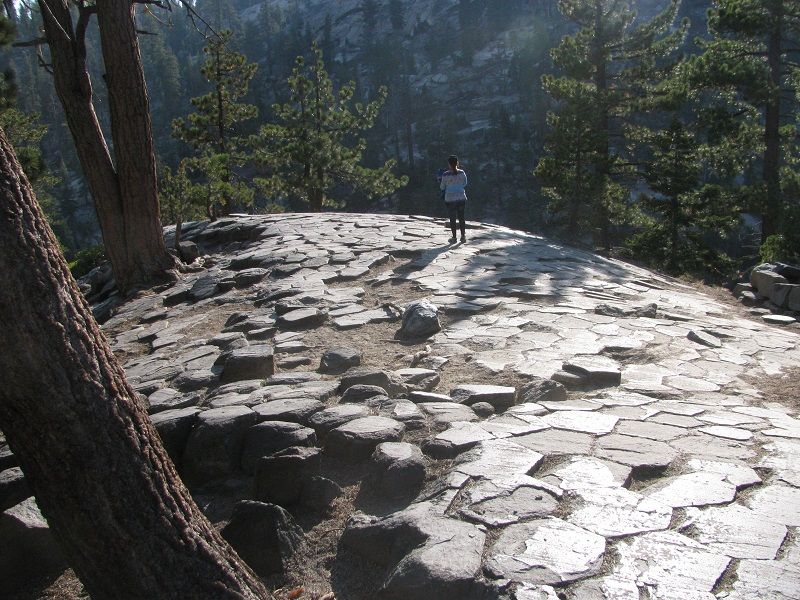
On Top of the postpile
In the morning we headed up 395 again to Hwy 89 and Markleeville. We had originally intended to head back t Hwy 120 through Yosemite, but the hotel clerk reminded us it was a holiday weekend and traffic through the park would be high.
Now one little comment here. Gas prices on the eastern Sierra (Hwy 395) are very high. I believe the highest I have paid anywhere. Having said that, if you decide to retrace our steps go ahead and fill up in the morning in Mammoth Lakes, the gas in Markeleeville isn't any cheaper.
Map6.jpg
After Markleeville we hit Hwy 88 and headed back West over the Sierra's again.
We stopped above Caples Lake for a photo
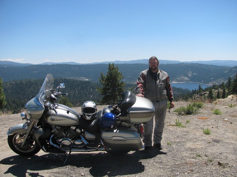
me and the bike
Hwy 88 took up back to Hwy 49 and our way back home.
It is a pretty simple out and back route, you end up retracing some steps, but it is a nice ride and for some variety there are several roads that cross the sierras to choose from to help mix it up a little.
You must be logged in to comment
Login now