iPhone screen shots (1) for DH NorCal iPhone/Pad app
The results of our 34,000 mi (54,000 km) of research riding for DH NorCal will also soon be available in app form, in addition to our DH NorCal book/Companion Map already available at destinationhighways.com.
Then comes DH SoCal book/maps and app, as well as the apps for DHBC and DHWA . The riding for DHOR is underway.
Click on the images below to read a description of each screen shot (apparently there is a bug in the new version of ESR, so you can't see the descriptions. You can on Facebook though.)
Like Destination Highways on Facebook. Follow us on Twitter @DHighways
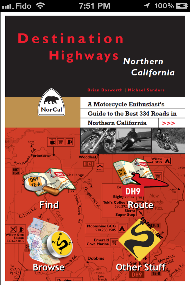
App ""Home" Screen (after you close Introductory screen)
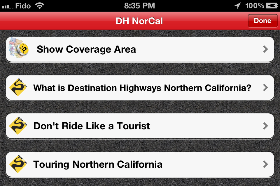
Introductory Screen (rotated to landscape view) when you open app for the first time (or, if you close the app, the next time you open it).
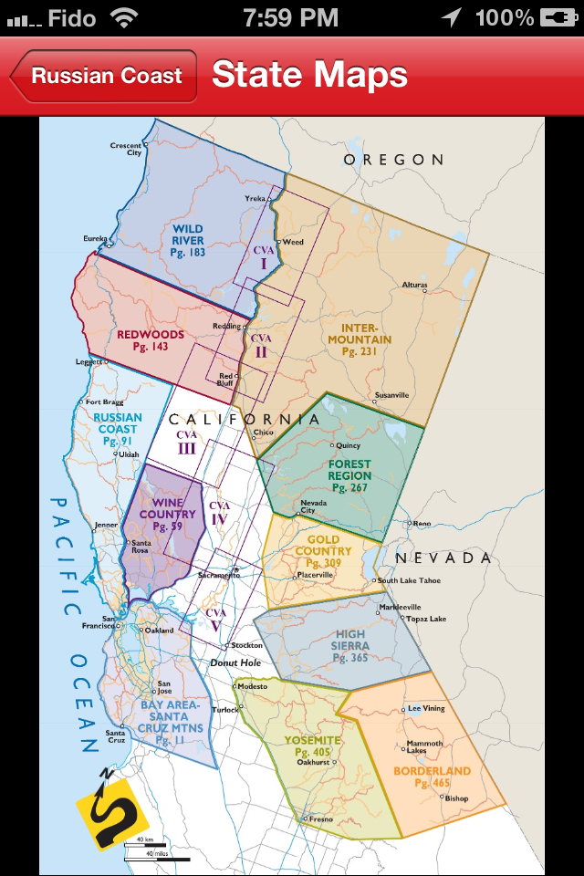
Half State Map, one of the 15 maps laying out the DH NorCal Coverage Area
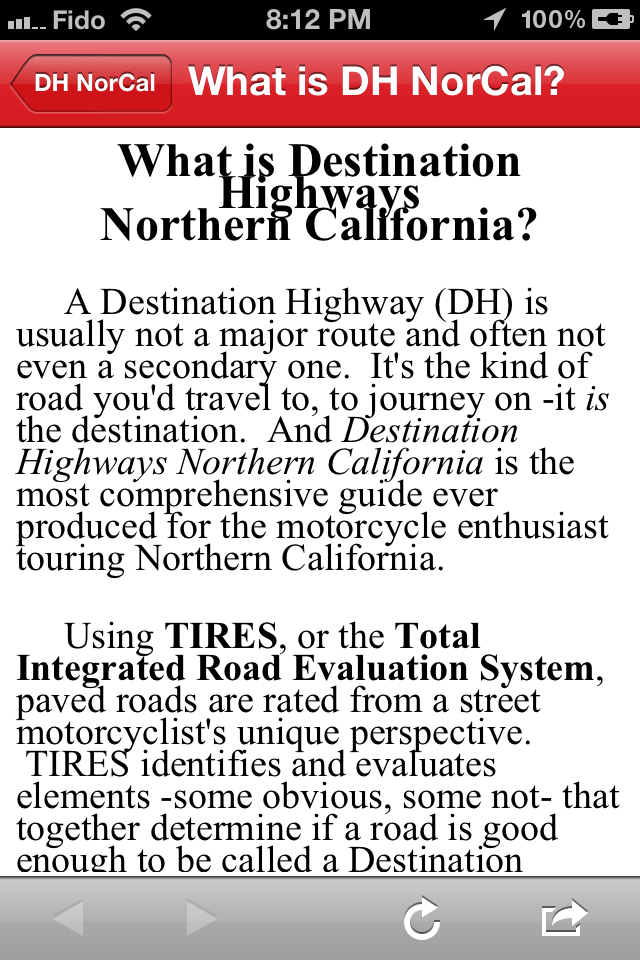
An Intro Page explaining Destination Highways (heading text needs to be adjusted).
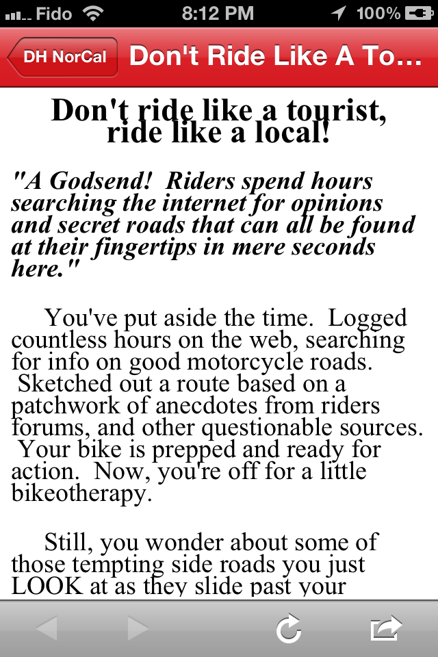
An Intro Page (heading text still needs to be adjusted) explaining how you can "ride like a local" with DH NorCal even if you've NEVER ridden in CA before!
Like Destination Highways on Facebook. Follow us on Twitter @DHighways
You must be logged in to comment
Login now