Tenterfield Tour
Distance: 522.1 Km / 325.3 Mi Duration: 06:46:07
This route is more suited to adventure bikes primarily due to the road condition along one stretch of road, but I've managed most recently on a Triumph Street Triple R, so it's not impossible. It's 'designed' to allow for a comfortable cruise toward the end of the day as, at around 560km in a full loop - it's a big day out and fatigue is a killer.
One option when starting out is to head to Beaudesert via Mt Tamborine but, considering the length of the ride and the later twisty sections, I generally choose not to as this ride is as much about endurance as it is adventure and excitement. Besides, Mt Tamborine is a popular tourist stop and the 60km/h roads don't compare to the faster twisties further along the Tenterfield Tour.
The stretch of Mount Lindsay Highway between Rathdowney and Woodenbong is known well to bikers... and to cops. There's a high speed limit along this stretch, but some of the corners can take you by surprise, so it's best to ride to the conditions. I'd suggest taking a quick breather at Rathdowney before proceeding.
I've been told to avoid the fuel at Woodenbong and instead hit up the small local store in Urbenville. It's a family business there for sure, and the prices aren't unreasonable.
Between Urbenville and Tabulam the road is patchy. It's a very scenic stretch, but the road conditions are mixed. Rough patches with small (not deep) potholes, and freshly sealed stretches are under tire most of the time. There are some road works going on there currently (August 2015) to re-seal sections of road, and I did ride one small section that fell like marbles - but if you're paying attention, you'll see it coming. It's this stretch that Adventure Bikers will enjoy more than the rest.
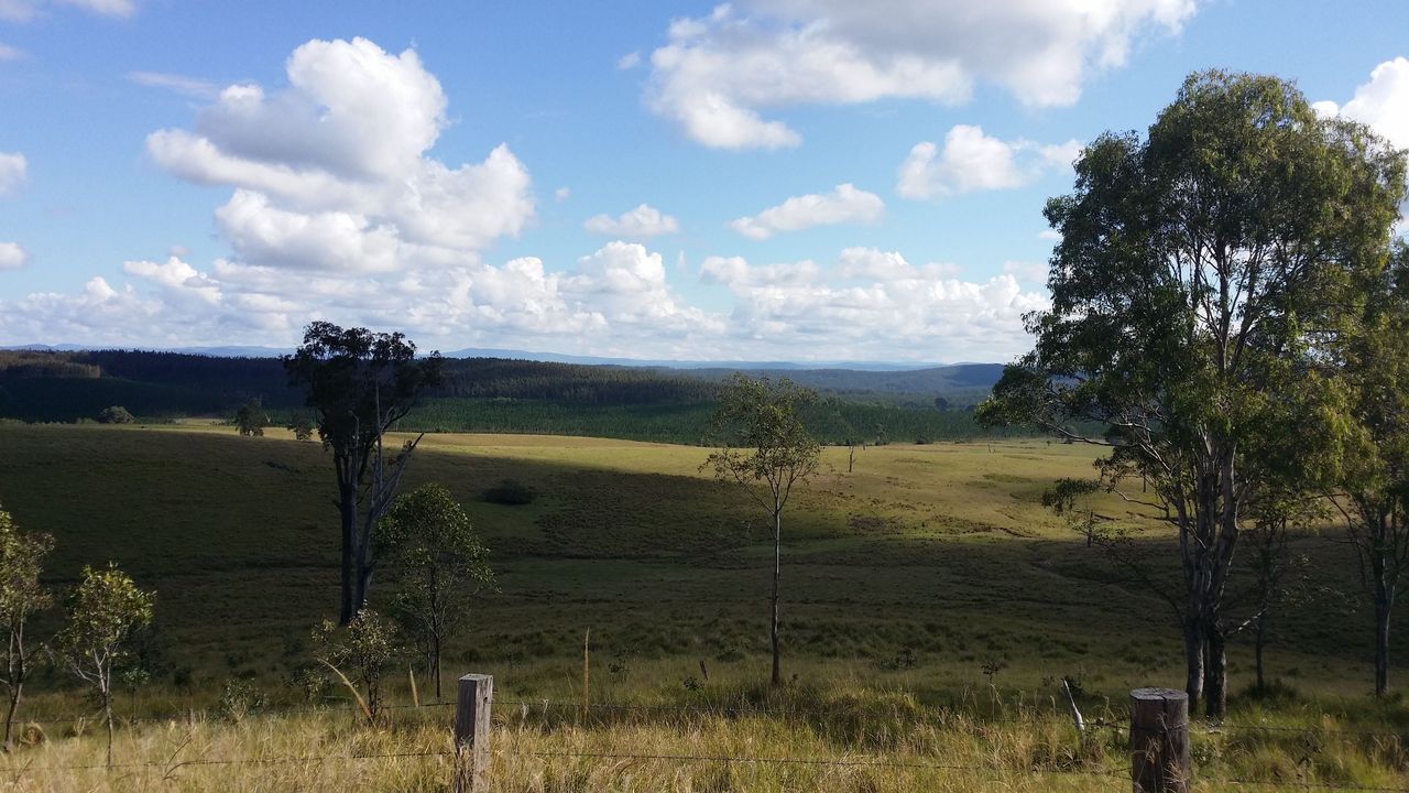
The views are worth the road conditions. Here, just north of Tabulam on Clarance Way.
There's a rest stop at Tabulam with a chemical-type toilet (essentially a seat over a pit) if you're in need, but little else to see as you come to the end of Clarance Way, and turn right.
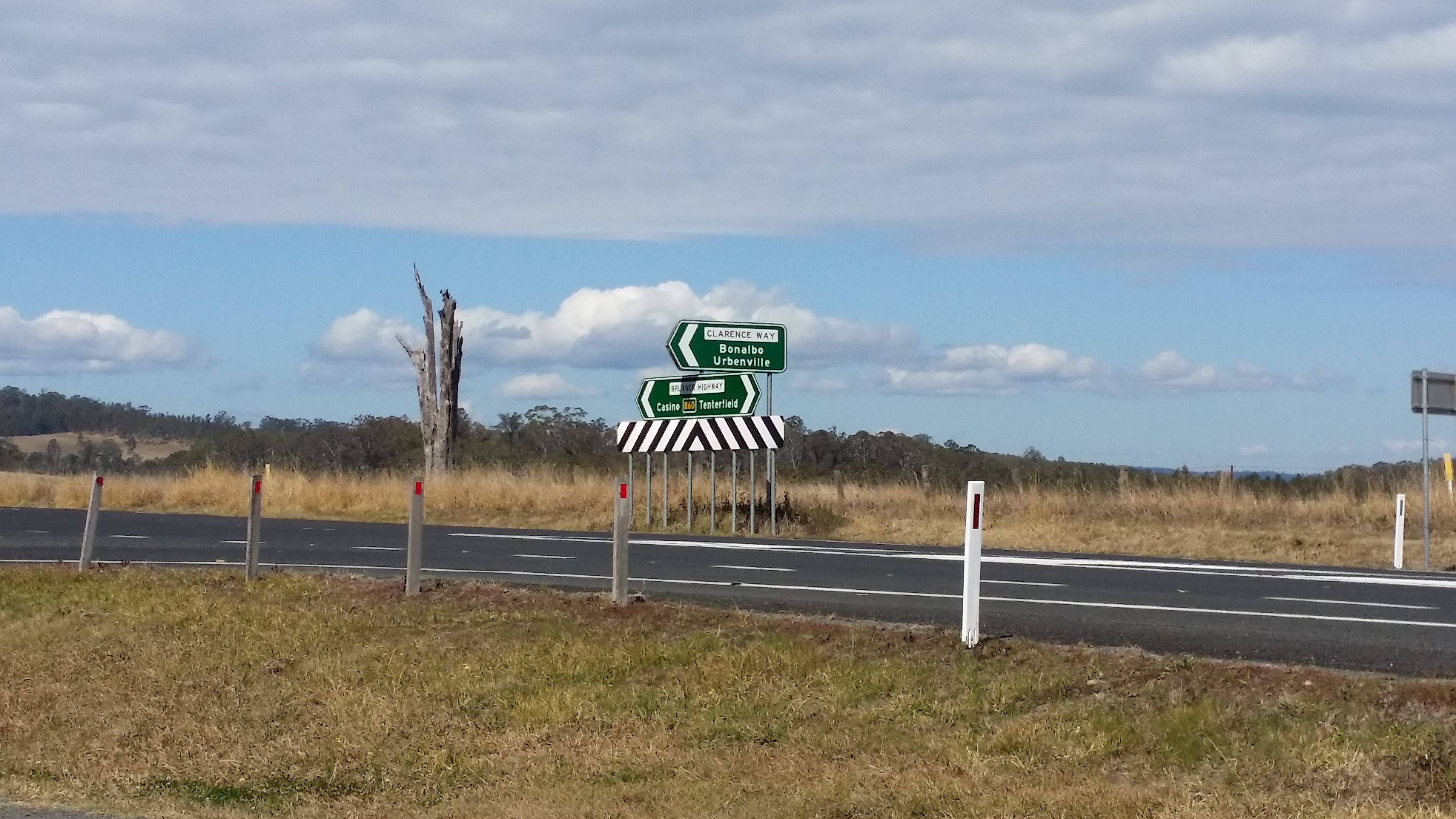
Very basic amenities at the rest stop, and very little else.
Heading west onto the Bruxner Highway you'll ride along good road conditions again. You can grab some 'cake at Drake', or continue along some nice twisty roads as you cross the Great Dividing Range, and come to Tenterfield.
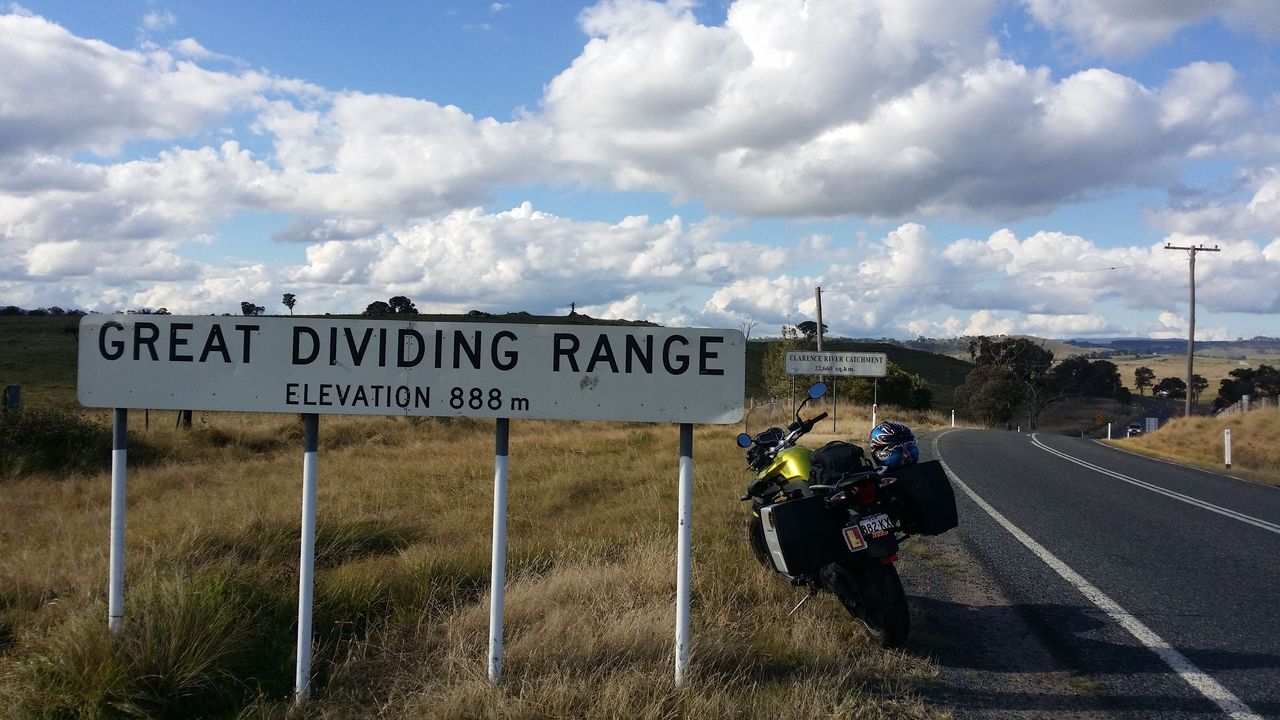
Blink and you'll miss it! I had to u-turn to get this photo the first I I rode this stretch of road.
Tenterfield is a good place to stop for a sit-down meal and a rest with lots of dining options. The next section is generally a comfortable cruise as you head north - quite probably with a nice, full stomach.
It's around 260km between Urbenville and Warwick so you can either fill up at Tenterfield, or ride on. A number of fuel stops can be found along the New England Highway, so you've got plenty of options.
After Warwick, it's more highway cruising with stellar views from the Cunningham Highway, with a nice-and-comfortable twisty section as you ride through the Main Range National Park, dropping elevation as you go.
As mentioned above, it's a big day's ride, and finishing on a highway isn't a bad thing. I try to tack on behind a vehicle that is going a comfortable speed and can then pay a little less attention to my speedo.
You must be logged in to comment
Login now