Chief Joseph Scenic Byway to Beartooth Pass, WY
Distance: 73.6 Km / 45.9 Mi Duration: 01:11:57
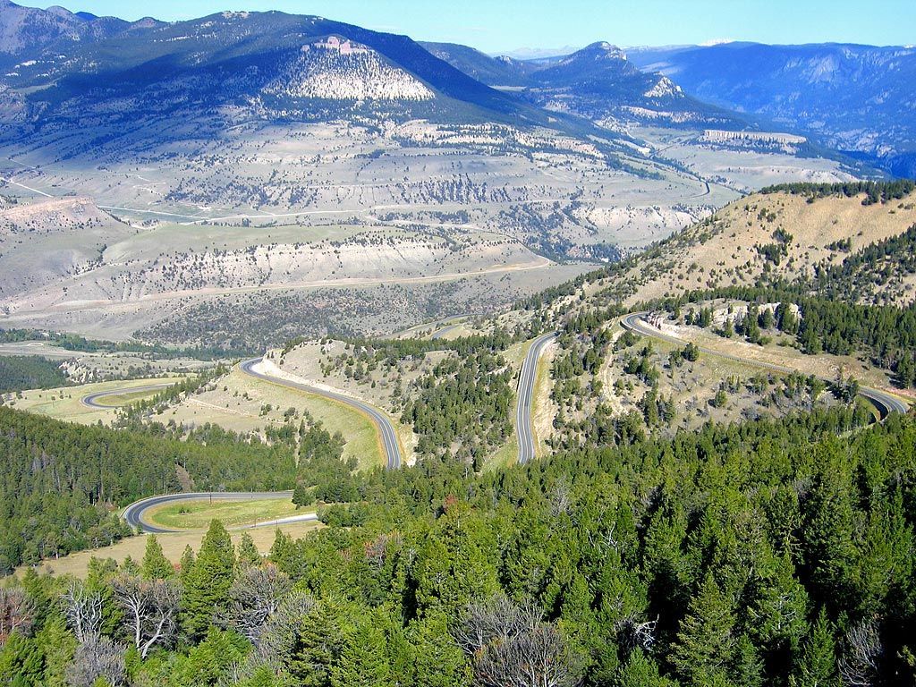
Chief Joseph Scenic Byway
Chief Joseph Scenic Byway or Wyoming Highway 296, is a 45.96-mile long scenic highway, north of Park County, WY. The road owes its name to Chief Joseph, and follows the route he took when he lead the Native American tribe, Nez Perce, out to Yellowstone National Park and into Montana when the tribe was forcibly removed from their Wallowa Valley ancestral lands.
Chief Joseph Scenic Byway - Scenic Motorcycle Road
Photo via: A Redleg's Ride
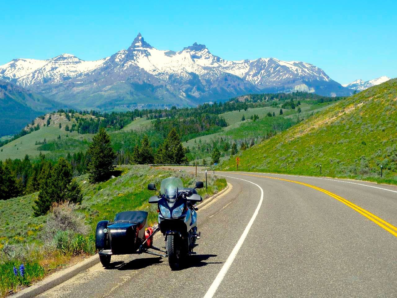
At WY-120, go west to climb your way to the top of the Shoshone National Forest. You'll experience many elevation changes, challenging curves and endless switchbacks along this scenic ride that offers an amazing vista of Beartooth Peak and the Absaroka Mountains.
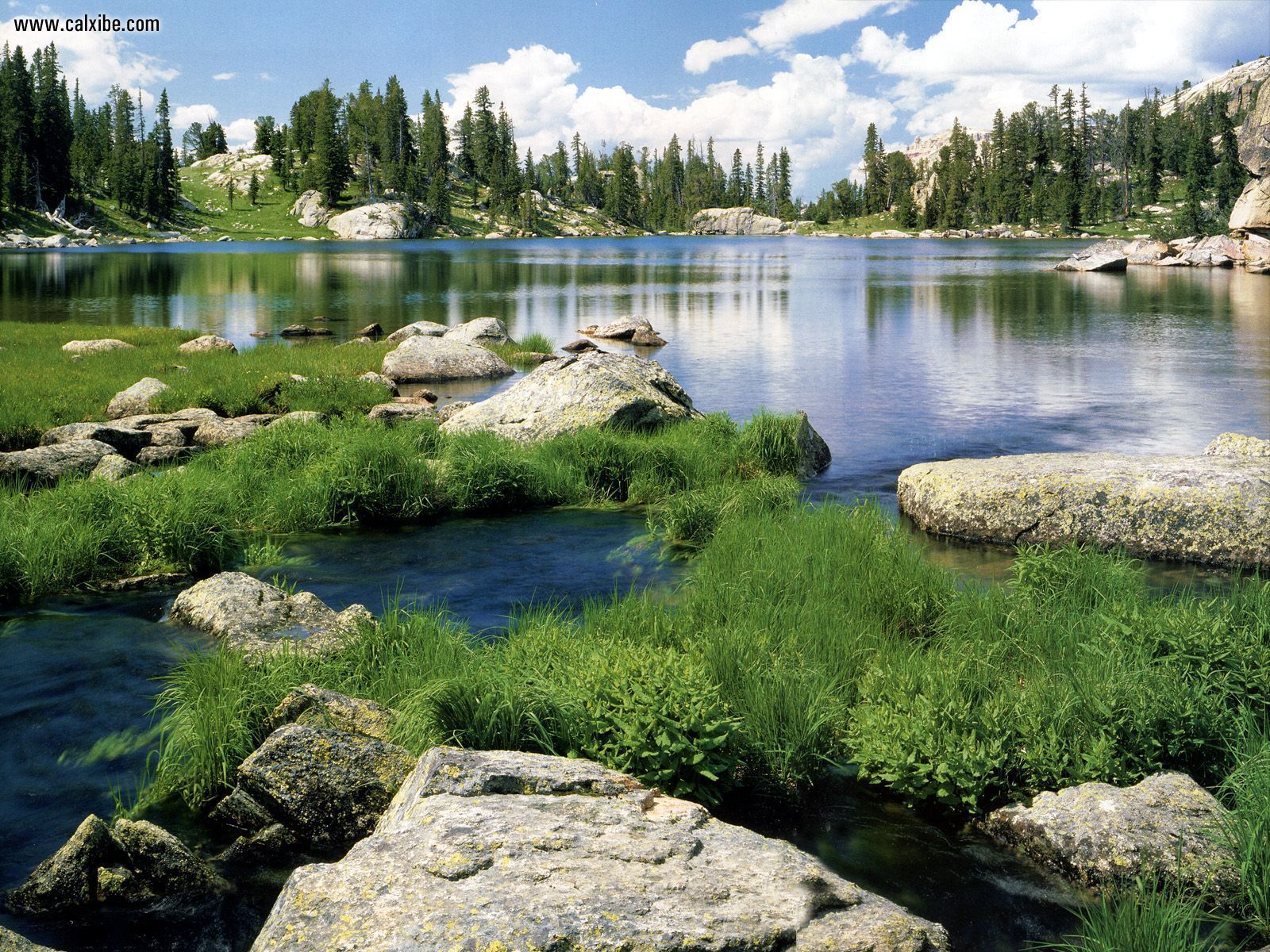
Shoshone National Forest, Wyoming
When you get to US-212, better known as Beartooth Pass, you'll find the end of the road. However, from this point you could turn right onto Beartooth Highway for one of the most amazing rides in the country or turn left towards Cooke City and you'll get to Yellowstone National Park.
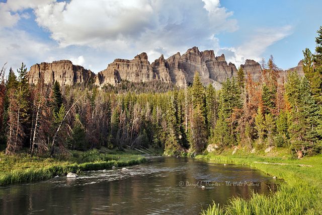
Absaroka Mountains, Wyoming
You must be logged in to comment
Login now