Tahoe National Forest Ride: From Emigrant Gap to Hallelujah Junction, California
Distance: 239.5 Km / 149.2 Mi Duration: 03:21:32
This Cali ride in the Tahoe National Forest is 120+ miles of glorious curves, hills and outstanding scenery.
The motorcycle route starts in the town of Emigrant Gap and continues westbound along California Route 20. From there, go left and take Bear Vally Road, then continue onto California Route 49/Golden Chain Hwy—you’ll be riding surrounded by the dense vegetation of Tahoe National Forest. Head towards Hallelujah Junction located in Lassen County at an elevation of 5033 feet, where you’ll find the end of the route.
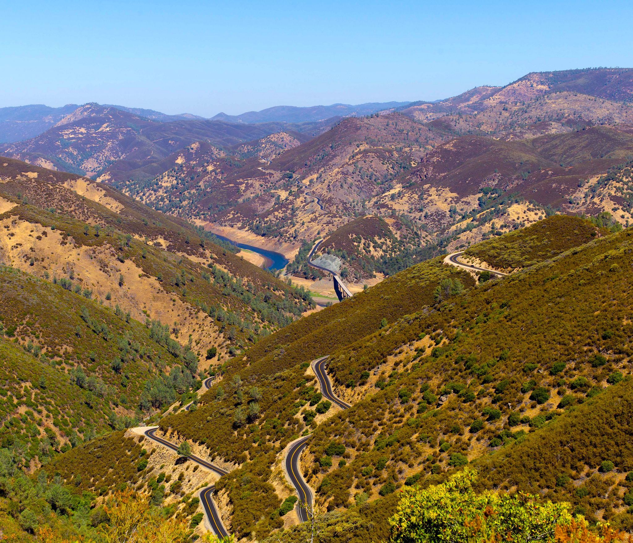
Glorious curves along Highway 49, California
Photo by Hans van den Broek/Flickr
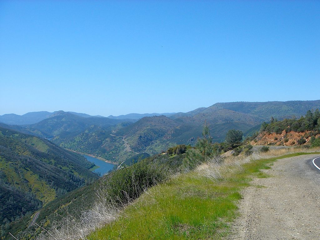
View from Highway 49 AKA Golden Chain Highway, California
Photo by whytynge/Flickr
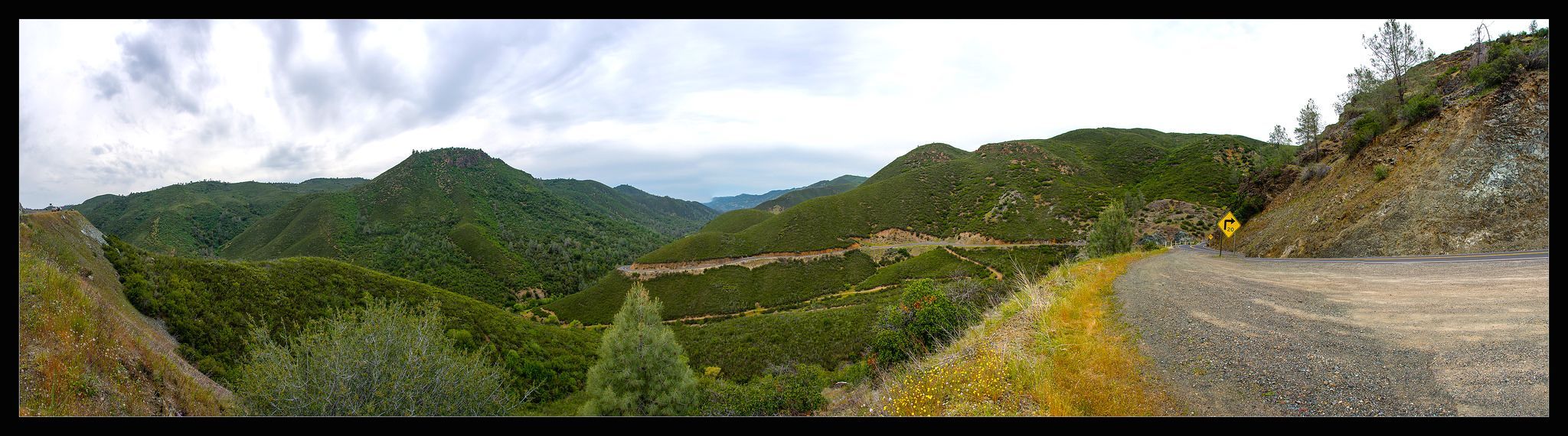
California Highway 49 – Scenic Motorcycle Roads – EatSleepRIDE
Photo by Pomax/Flickr
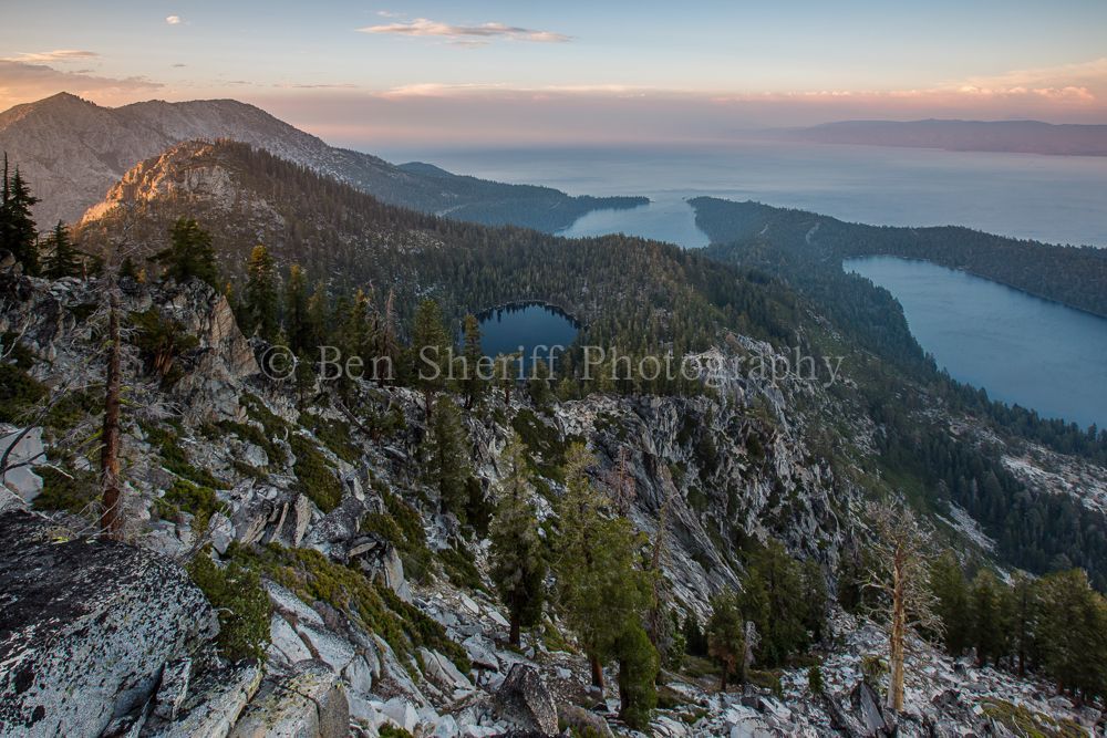
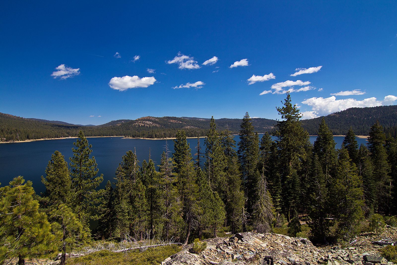
Tahoe National Forest
Photo by Ben Sheriff Photography/Flickr
Jckson Meadows Resv, Tahoe National Forest, California
Photo by Matthew Rhodes/Flickr
You must be logged in to comment
Login now